Rotterdam History: What Shaped the City and Where to See It
A short Rotterdam history for visitors, from the 1270 dam on the Rotte to the wartime Blitz and the architecture that rebuilt the centre.
On this page
Rotterdam dates from 1270, when a dam was built in the Rotte, and it has been shaped since by four forces: the river crossing that gave it a name, the port that made it rich, the wartime bombing that erased its centre, and the modern architecture that replaced it. This guide walks through those periods in order and points to where each one is still visible on a short city break.
Treat the city's buildings as the timeline. Almost everywhere else in the Netherlands you read a town from its medieval core outwards; in Rotterdam the sequence is compressed into a few square kilometres of rebuilt centre, with the old and the new sitting side by side. That makes the history practical rather than abstract, especially on a short break.
The short answer: how old Rotterdam is
Rotterdam is a thirteenth-century foundation: the dam on the Rotte is recorded from 1270, which is the date the city takes as its origin. It was not a city by charter until 1340, when William IV, Count of Holland, granted it city rights, so the settlement is roughly seven decades older than its formal status as a city.
For a visitor, that gives a neat three-stage structure. Start with the medieval river crossing and trading town on the Rotte, follow the port's growth as the reason the city looks outward rather than inward, and finish with the twentieth-century rupture and rebuild. Knowing the order stops the rebuilt centre from looking like it has no history at all.
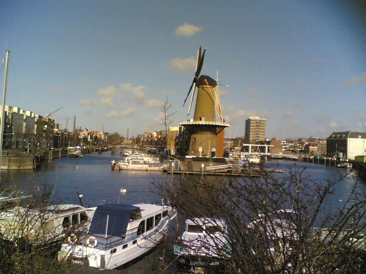
1270 and the dam on the Rotte
The name is literal. Rotterdam means the dam on the Rotte, the small river that still runs through the city, and the dam was constructed in 1270 at the point where the settlement began. The Rotte is a modest stream, but it gave the town its first crossing, its first trade route and its name.
Look for the name rather than a surviving monument: the Rotte still threads through the city, and the street pattern of the centre is the strongest trace of the settlement that grew around it. Walking the length of the stream is a slow half-day, so most visitors take it in on foot in the centre while heading between other sights.
City rights in 1340 and the medieval trading town
In 1340 Rotterdam was granted city rights by William IV, Count of Holland. In the medieval county of Holland that charter was the step that gave the town formal standing as a city, and it is the date that turns a riverside settlement into a town with legal weight.
The medieval town was a trading one, dependent on the Rotte and the larger waterways beyond it, and that orientation towards water set the pattern for everything afterwards. Little of that medieval fabric survives in the centre, so read this period through the city's geography and its charter rather than through buildings. This is the period to understand before you walk the centre, because it explains why the city sits where it does.
The port years: from river town to European gateway
Rotterdam's modern identity comes from shipping. It grew into a major logistic and economic centre and is Europe's largest seaport, a position built on the Rhine, Meuse and Scheldt, which together give waterway access deep into western Europe, including the industrial Ruhr. That inland reach, not just the North Sea coast, is what turned a river town into a gateway.
The port's twentieth-century scale is part of the story, and it is best treated as history rather than a running scoreboard. The city's shipping grew across the decades, and that growth is what dates the riverside infrastructure you see today.
For sightseeing, the port years are best read at the water. The riverside setting, the Maas and the port infrastructure beyond the centre are the evidence of this period, and the New Meuse channel that carries inland shipping is part of the same story. A walk along the river gives you the scale of it faster than any museum label.
The Second World War and the Blitz on the city centre
The single event that explains Rotterdam's appearance is the Rotterdam Blitz of the Second World War, which caused the near-complete destruction of the city centre. That is why you can walk through the middle of a 700-year-old city and see so little of its old streetscape. It is a rare case where a city's biggest sightseeing fact is an absence.
Read the centre with that in mind. The wide streets, the openness, the varied architectural landscape and the absence of an old-town core are the result of wartime destruction and the varied reconstruction that followed, and knowing this changes how you look at the buildings around you. If the weather turns, the city's indoor sights give you a way to spend the day while still following the same story.
Rebuilding and modern architecture: Koolhaas, Blom and Van Berkel
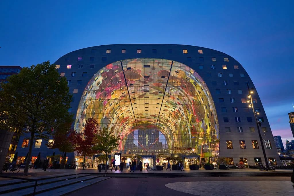
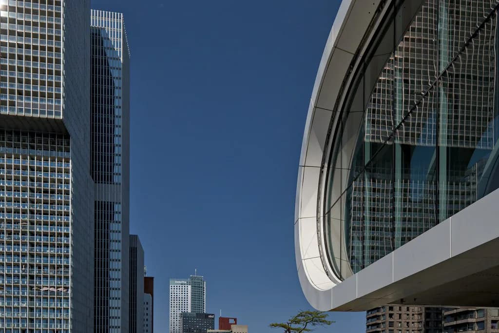
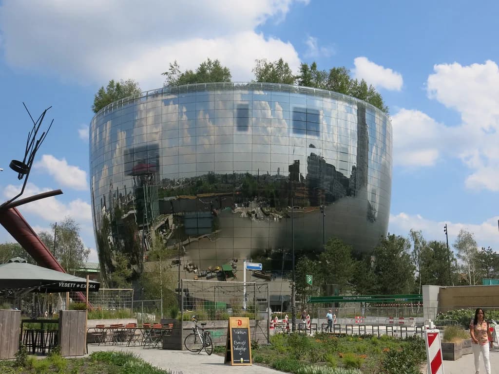
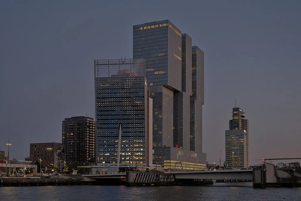
The postwar rebuild produced a varied architectural landscape rather than a single style, and that variety is the city's signature. The architects credited with shaping the modern skyline include Rem Koolhaas, Piet Blom and Ben van Berkel, and their work sits among the reconstruction-era buildings rather than in a separate district.
This is the period most visitors come for, and it rewards a deliberate walk rather than a checklist. Pick a handful of buildings in the centre and look at them in sequence, noting how the reconstruction-era blocks and the later skyscrapers respond to each other. A focused route through the architecture gives you a coherent half-day without needing to cross the whole city.
If you want the broader picture of what to see across the city, the attractions guide covers the named sights and the neighbourhoods they sit in. Use it after this history, so that each building falls into a period you already recognise.
Water and the delta: the riverside setting that made the port work
Rotterdam sits in South Holland, part of the North Sea mouth of the Rhine-Meuse-Scheldt delta, and that position is the whole reason for its growth. The New Meuse inland shipping channel was dug to connect the city to the Meuse, first, and now to the Rhine, giving the port a route into the heart of western Europe.
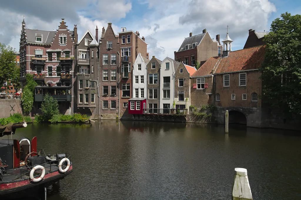
The practical consequence for a visitor is that water is never far away, and the riverside is the best place to understand the port period. Walk the Maas waterfront at the start of a trip, then look at the older docks that sat inside the city to see how the smaller harbours fitted the settlement.
What the 2022 figures say about the city today
Rotterdam had a population of 655,468 in 2022 and is home to over 180 different nationalities, which is the short explanation for the city's restaurant and street life. The Rotterdam–The Hague metropolitan area, with about 2.7 million people, is the most populous in the Netherlands and the tenth-largest in the European Union.
Treat those as recorded figures for 2022, not a current count. What matters for a visit is the consequence: a port city with a large international population, a university and a lively cultural life, which is why the cultural offering is broader than a city of its size would otherwise support.
Reading the architecture as a timeline
The most useful way to see Rotterdam in a short visit is to treat the architecture as evidence. Start at the river for the port period, move into the centre for the reconstruction, and then pick out the modern towers for the later decades; the sequence is the story, and the buildings are the dates.
If museums are part of your plan, look up opening days before you build a route, so the venues you most want are not closed on the day you set aside for them. The Museums in Rotterdam guide is the place to start when you decide how to split your days.
Churches and galleries give you two further layers: the older religious buildings and the contemporary art spaces that fill the post-industrial city. Both work better once you know the period they belong to, so save them for your second or third day.
How the layout helps you plan two or three days
Rotterdam's centre is compact enough to walk, and the wartime destruction of the old fabric makes it unusually easy to navigate: there is no maze of medieval alleys to get lost in. That changes the planning arithmetic. With two days, do the river and the rebuilt centre on day one, then the modern architecture and a museum on day two.
With three days, add the old harbours and the neighbourhoods beyond the centre, and allow a morning for the museum you most want to see. If a venue uses timed tickets, book through its own site before you travel rather than assuming you can walk in.
Which period should you follow first?
If you have one day, follow the water: the river and the old harbours for the port period, then the rebuilt centre for the war and the architecture. If you have two or three, add a museum and a walk through the modern skyline, and do the medieval period in your head as you cross the centre.
The one thing to check before you go is which museums are open on your dates, since the city's cultural sights are the part most likely to shape your plan. Much of what this history describes is the streetscape itself, which you can read on foot as you walk the centre and the waterfront. For wet days, see Indoor Activities in Rotterdam.
Explore more Rotterdam guides
Sources
Notes for your next Dutch city break
Optional updates to our Netherlands guides.
You might also like
Continue reading
More guides you'll find useful